
2014
A small team.
Tersus GNSS Inc. is founded by a team of engineers in Shanghai with US$3M investment and a mission to build a proprietary RTK chip, joining a select group of only six companies globally with their own ASIC.
About Tersus
Tersus GNSS has spent a decade making precise positioning accessible to everyone. We believe that centimeter precision in the hands of people and machines allows them to work more efficiently and build better knowledge of our world. This is how we got here, and where we’re going next.
Origin
Tersus GNSS started in 2014 from a small office in Shanghai with the idea that survey-grade GNSS, the technology that lets you find any point on the earth with centimetre accuracy, should not cost as much as a car.
Our experience building enterprise networking and semiconductors for the consumer market, combined with economics of scale and improvements in sensor performance, brought survey-grade GNSS within reach. For over a decade, geodesists and surveyors have used our products to measure points with rigurous accuracy anywhere on Earth. Today, we push the boundaries of what’s possible.
Capture from single points with the highest accuracy to 3D scenes with millions of points and photorealistic reconstructions of reality. For the massive amounts of spatial data, we build powerful Compute, efficient algorithms and semantic architectures designed specifically for each industry and application. These are the foundation models that enable the next generation of engineers to Command machine automation and robotics in farms, construction sites, mines, and the rest of the physical world. That’s why we build.
The milestones that actually mattered.
Tersus GNSS Inc. is founded by a team of engineers in Shanghai with US$3M investment and a mission to build a proprietary RTK chip, joining a select group of only six companies globally with their own ASIC.
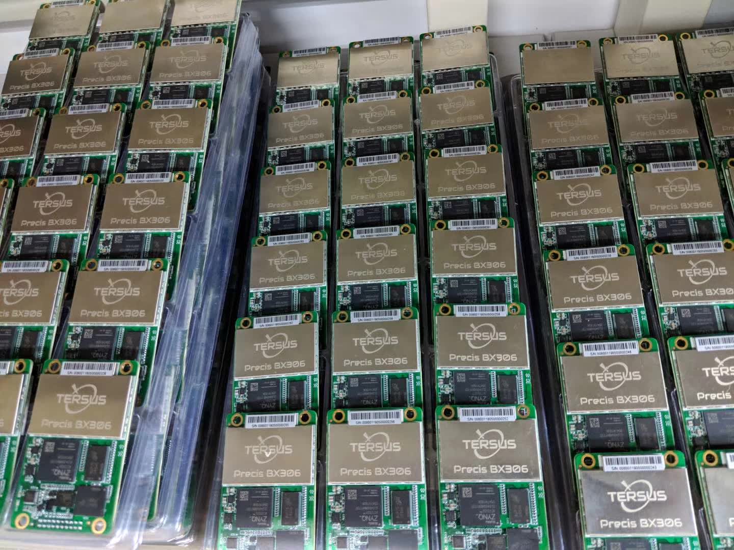
The earliest BX-series multi-GNSS RTK OEM boards leave the factory. Hand-soldered prototypes transform into production units for early adopters.
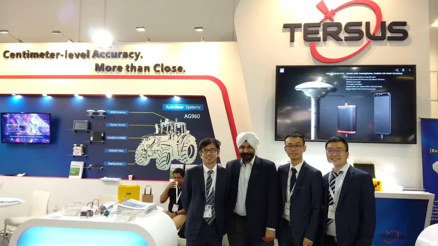
Tersus GNSS debuts its products at INTERGEO in Berlin, and expands its global presence with offices in Melbourne, Australia and San Diego, USA, strengthening its commitment to serving customers worldwide.
Oscar launches at INTERGEO Frankfurt as the second GNSS receiver to master the art of tilt compensation ahead of large, established players in the survey market. Integrators looking for affordable precision are the first to adopt David for agriculture and drones.
View new generation David30 GNSS/INS receiverA growing number of patents in GNSS signal tracking, ExtremeRTK technology, multipath mitigation, and GNSS/IMU fusion. Launch of new generation BX-series boards, auto-steer systems, and NTRIP caster software. The team reaches 50+ people across three global offices.
View our Technology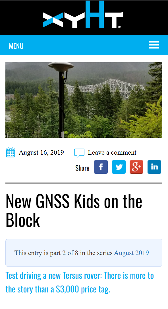
Tersus GNSS receives recognition for its innovative GNSS technology and products in INTERGEO, GPSWorld, xyht, Spatial Source, and other industry publications.
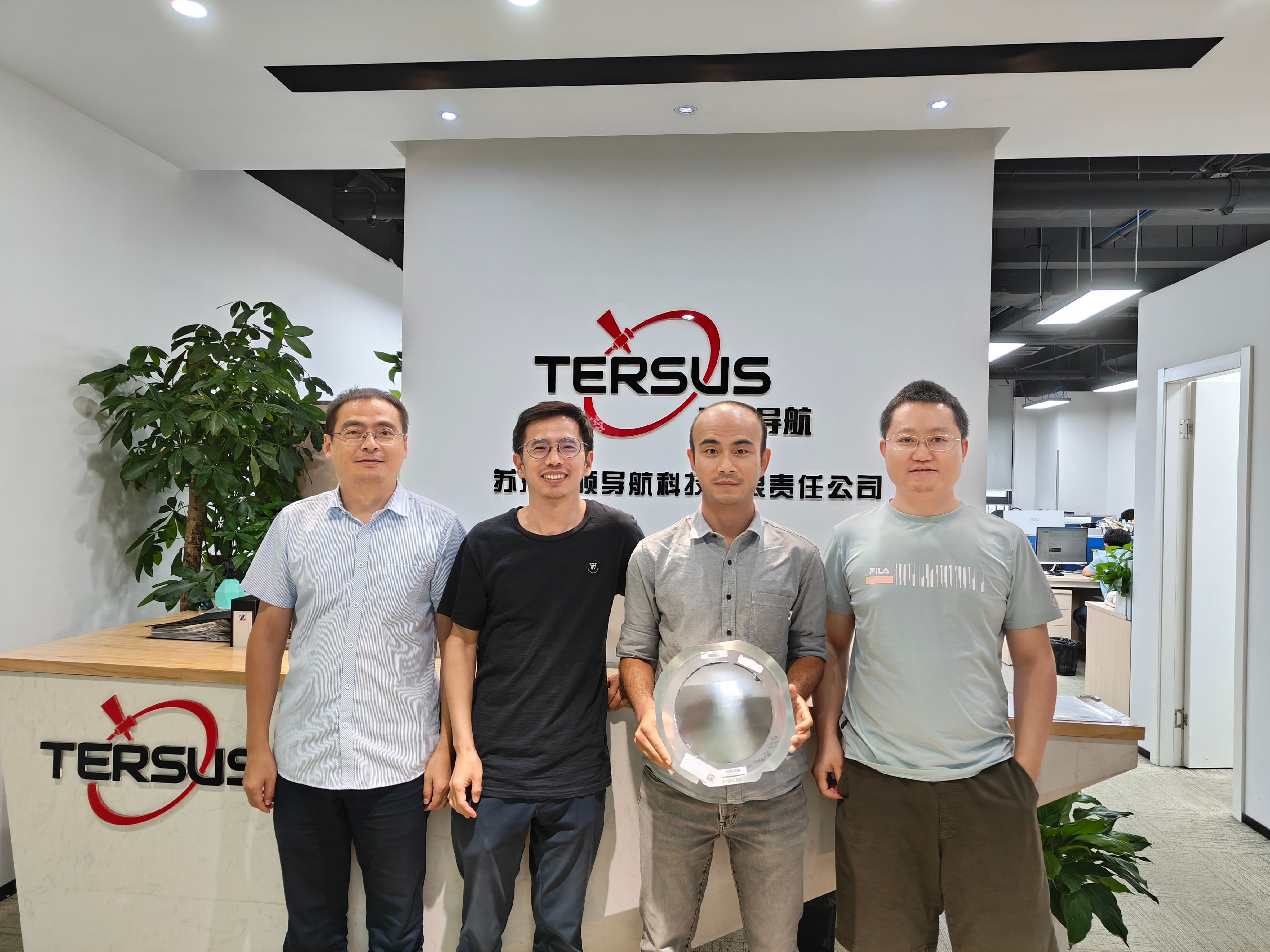
After years of R&D, the first wafer arrives and Tersus GNSS launches the Antares chip, a silicon to receiver vertical integration.
TAP™ PPP provides global coverage with 1.5cm accuracy, <3 min convergence, and 99.99% uptime. R&D exceeds 60% of headcount and our dealers cover 90+ countries.
View TAP™ PPP in actionGNSS + IMU + vision sensor fusion in the Oscar Trek extends the capabilities of traditional GNSS positioning. Reality Capture becomes a reality.
An advanced positioning engine on propietary GNSS chips. The integration of TightSLAM in the GNSS + IMU + vision + LiDAR sensor stack. New aerial LiDAR, handheld SLAM, auto-steering, and robotic total stations form a powerful product portfolio.
Eleven years in, still a product company.
Today Tersus owns the full positioning stack: GNSS chipsets, PPP-RTK, IMU/vision algorithms, reality-capture hardware, and the GeoAI layer that turns raw data into decisions for humans and machines. One engine, two work paths, and a customer base that spreads from national mapping agencies to autonomous drone services.
The people who set the direction.

Founder & CEO
Founded Tersus in 2014 after years in enterprise networking and systems engineering. Sets the long-range direction and keeps the company close to the customers who run it in the field.
LinkedIn
Vice General Manager
Runs hardware, software, and test from concept through manufacturing. Twenty years in RF and integrated circuits at global semiconductor companies before bringing the same rigour to the Tersus product roadmap.
LinkedIn
Director of R&D
Leads the in-house multi-constellation RTK engine and GNSS/IMU/vision fusion work. Beihang-trained, a decade in satellite navigation, and the technical anchor for next-generation GNSS at Tersus.
LinkedIn
VP of Sales, Marketing & Customer Experience
Runs the international growth engine. Background in business development and research; translates deep GNSS knowledge into commercial decisions that hold up at the customer site.
LinkedInWhere next
Our Melbourne office opened in 2017 and is the centre of gravity for our LEO-PNT, reality-capture, mining, and construction workflows. Australia takes positioning seriously: an active research community that created the LAMBDA method for RTK positioning, Google Maps and the SLAM algorithm, an open ecosystem with a national CORS network that sets industry standards, and customers who run our equipment in large broad-acre farms, challenging underground mines, and efficient survey crews.
We are working on advanced GeoAI products and solutions. We build in the office and work on the field, acting as the bridge between our customers and the technology that Captures, Computes and Commands the world. If you want to help us build that future, we’d like to meet you.