


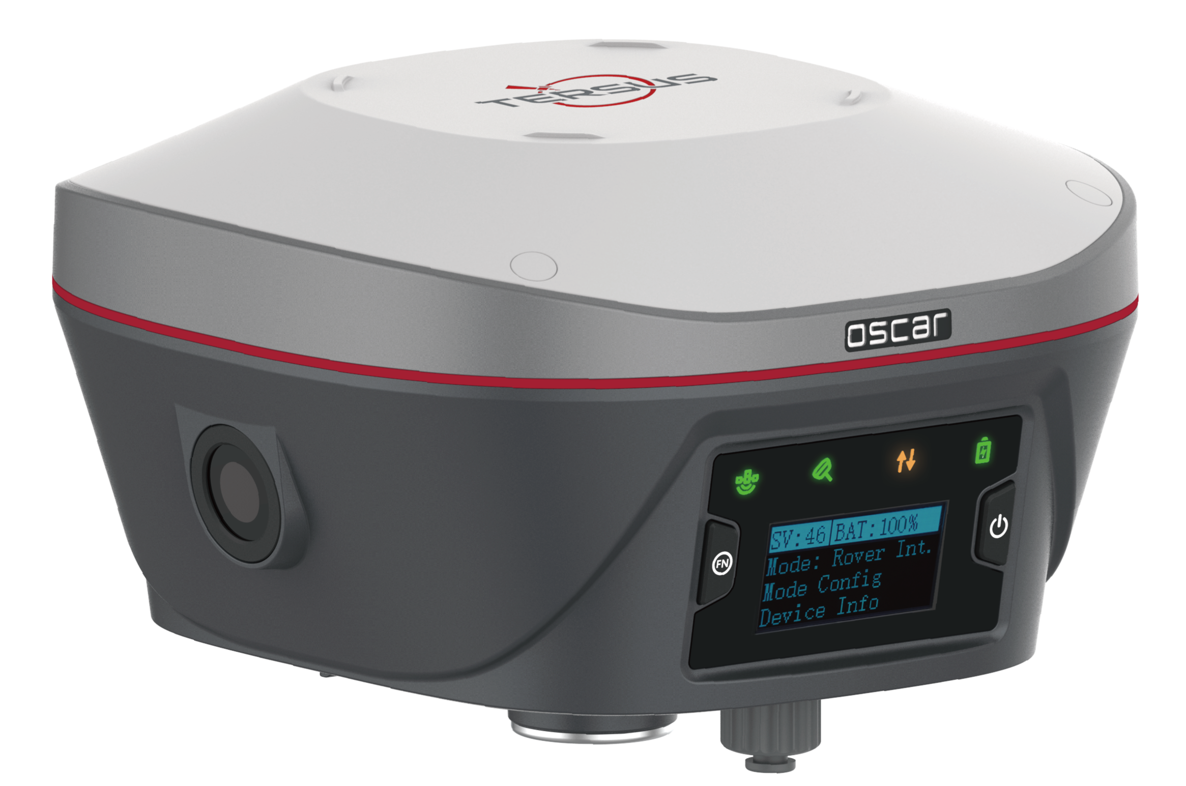
The Oscar Trek GNSS Receiver is the latest high precision GNSS RTK system, which is an innovative integration of visual positioning technology, GNSS,IMU and a camera.
1. Summary
The Oscar Trek GNSS Receiver is the latest high precision GNSS RTK system, which is an innovative integration of visual positioning technology, GNSS, IMU and a camera. It enables you to measure what you see to achieve high-precision, high-efficiency and multi-point measurement. To validate the precision and reliability of the Trek visual positioning measurement, a series of tests will be performed to evaluate the dense point cloud mode of the Oscar Trek system.
2. Test Purpose
The purpose of this test is to assess the accuracy and reliability of visual positioning under various environmental conditions.
3. Test Indicators
The key indicators for this test are accuracy and reliability, measured through the cumulative distribution of three-dimensional directional errors and the cumulative distribution of external conformity accuracy (RMS).
4. Test Process
Connect the Oscar Trek to Nuwa via Wi-Fi, enable tilt compensation, and configure it to rover mode to obtain a fixed solution.
Enter the visual positioning interface and use the dense point cloud mode for visual measurements to get the coordinates of the target points.
Measure the target points and get the coordinates using a total station.
Compare the differences between the coordinates collected by the Oscar Trek and the total station.
5. Test Content
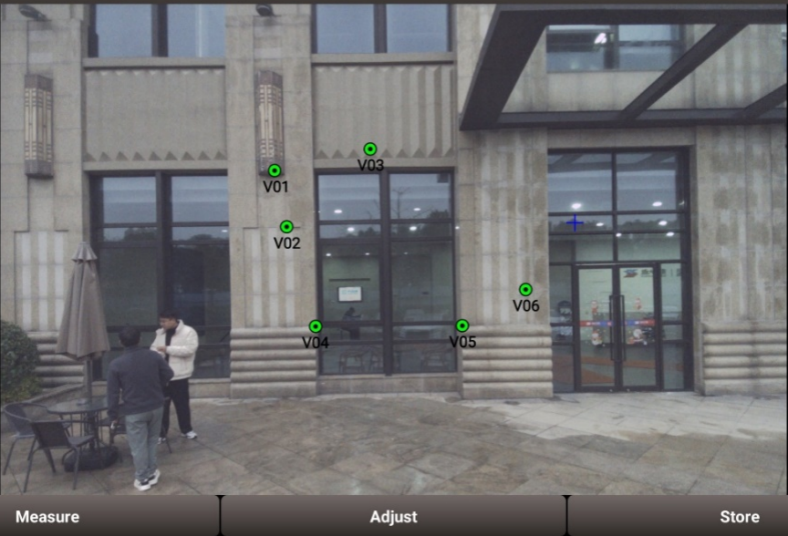
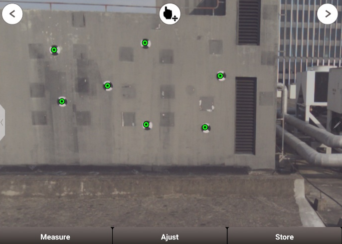
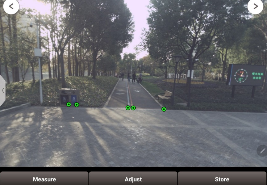
The receiver was used to perform visual positioning of distinctive points in dense point cloud mode across three scenarios:
1). Open Sky Environment
An environment with no obstructions, providing optimal satellite visibility and signal reception.
2). Partially Obstructed Sky Environment
Situations where only a portion of the sky is visible, such as near large structures or under tree cover, leading to limited satellite visibility.
3). Suburban Area
Regions with moderate building density and vegetation, causing occasional signal obstructions but generally offering better GNSS performance than urban canyons.
6. Test Result
Open Sky Environment: 8m 3D RMS error with 95% probability ≤3cm; 10m 3D RMS error with 90% probability ≤4cm.
Partially Obstructed Sky Environment: 8m 3D RMS error with 95% probability ≤5cm; 10m 3D RMS error with 90% probability ≤5cm.
Suburban Area: 8m 3D RMS error has a 90% probability of ≤5cm; 10m 3D RMS error has a 90% probability of ≤5cm.

