


GeoCaster
NTRIP caster server software for building and managing private correction networks.
GNSS CorrectionsPrecise Correction Anywhere and Anytime
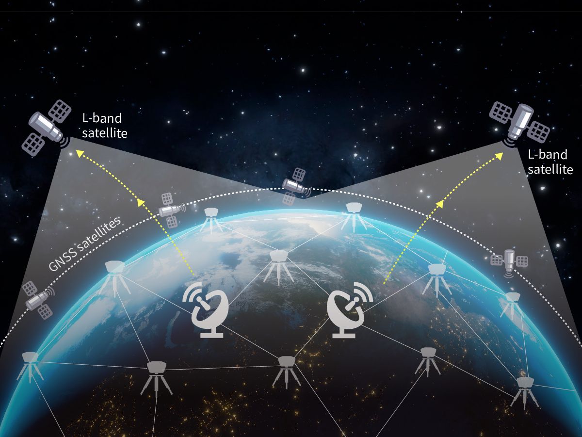
Tersus Advanced Positioning, TAP, is our advanced precise point positioning technology that provides real-time, centimeter-level correction via satellite link.
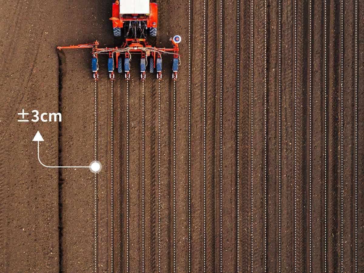
1.5cm horizontally and 3cm vertically.
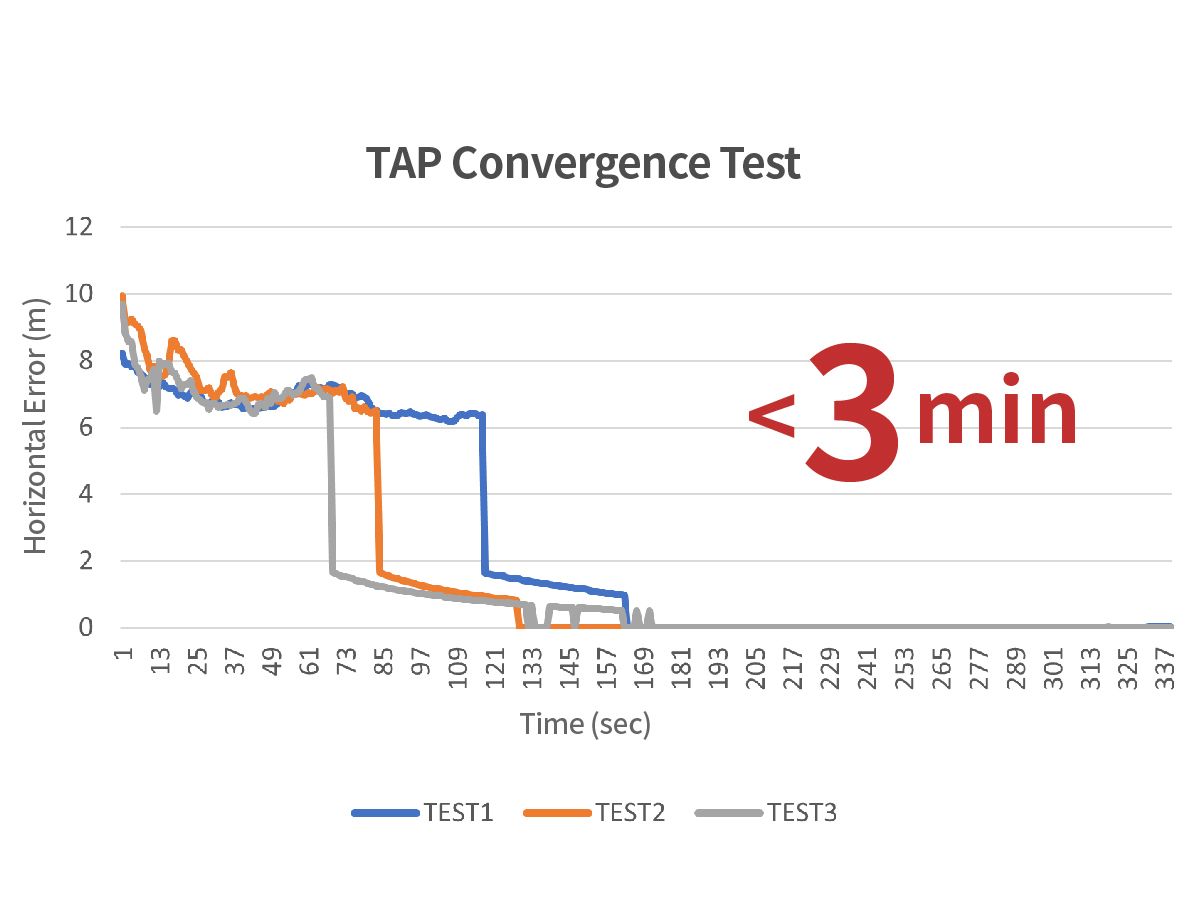
Less than 3 minutes from turning on the GNSS Receiver.
Offer the freedom to work anywhere with at least 2 satellites covered.
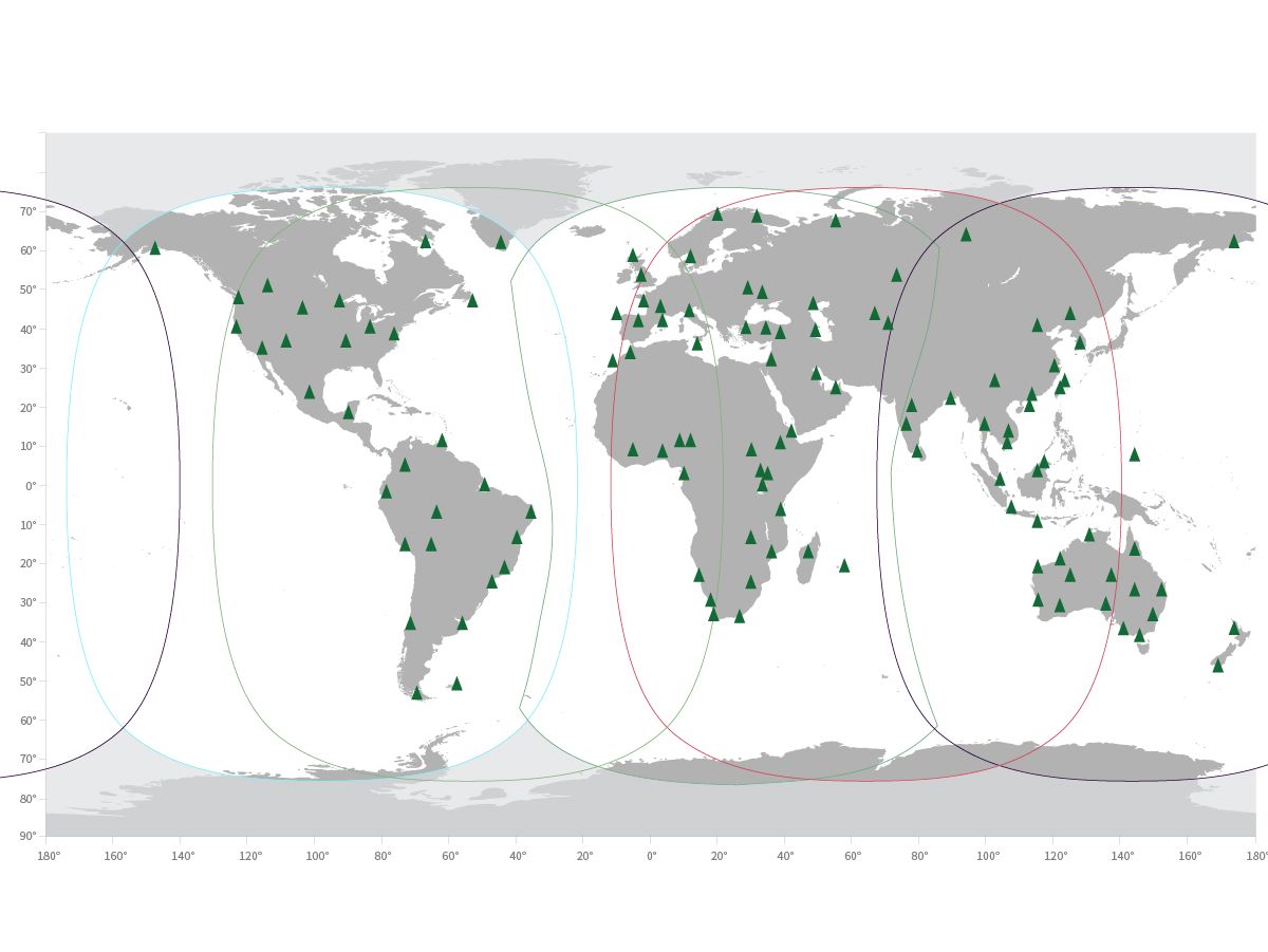
The redundant system architectures of global reference stations, network control centers, and satellite uplink and downlink contribute to superior service available anytime.

Precision farming techniques, crop health monitoring, and cost reduction.

Reliable navigation, obstacle avoidance, and target tracking.

Reliable navigation, obstacle avoidance, and target tracking.

Accurate mapping for terrain models, boundary surveys, and topographic maps.
Firmware, software installers and configuration tools for this product are in the MyTersus portal. Open product downloads
NTRIP caster server software for building and managing private correction networks.
GNSS Corrections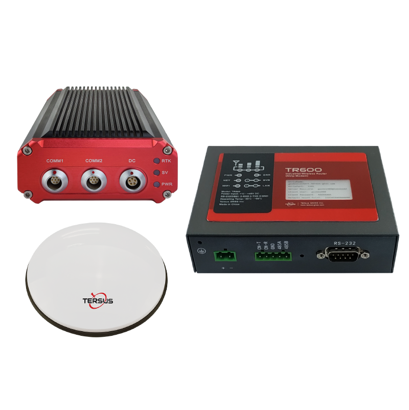
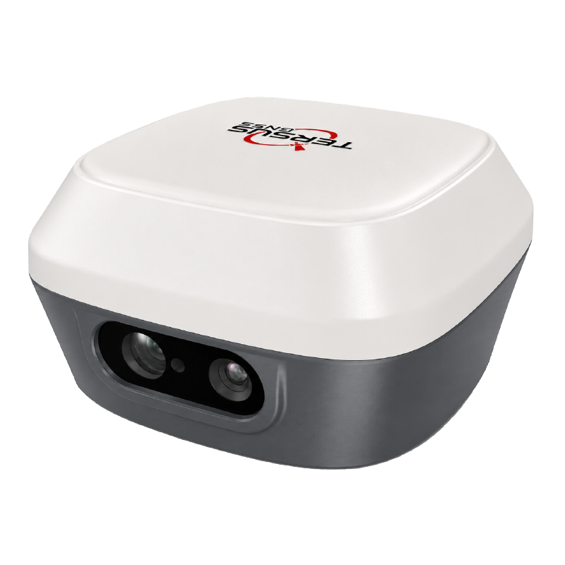
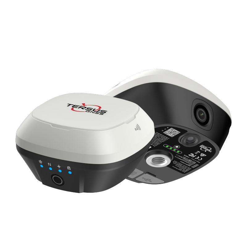
Dual-camera RTK receiver with tilt compensation, visual stakeout, and AR guidance.
GNSS Receivers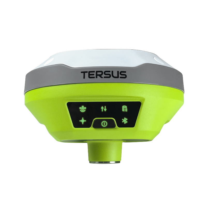
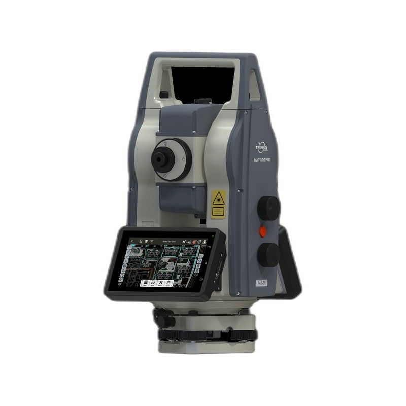
Robotic total station designed for efficient surveying, intelligent stakeout, and automated field operations.
Total StationsTalk to our team about pricing, integration, and support options.