


New
INS200
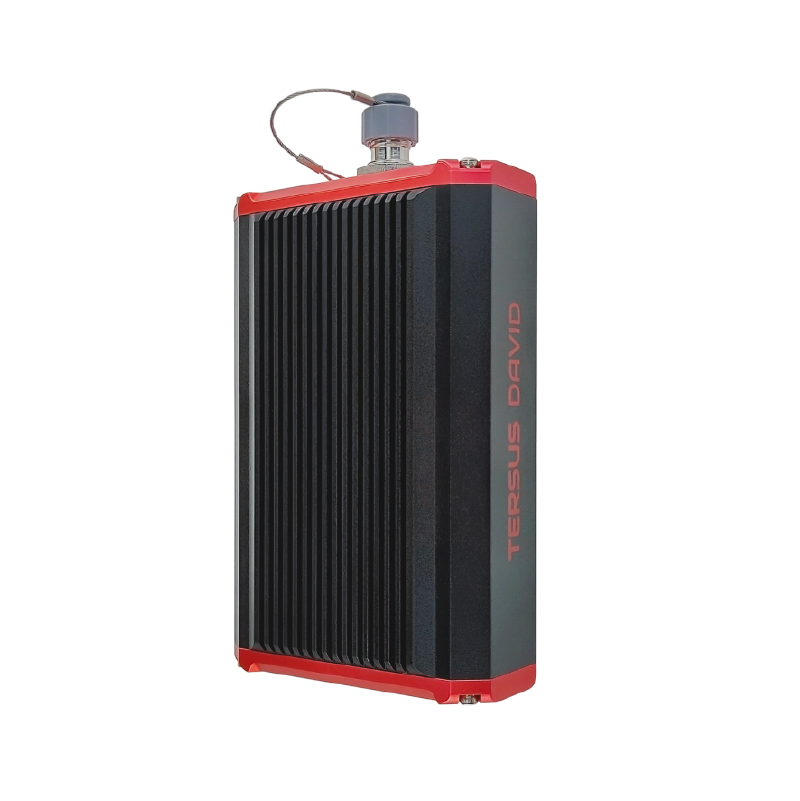
GNSS+INS integrated navigation system for high-dynamics environments.
High-precision Inertial Navigation System
High-performance GNSS+INS solution
By combining the accuracy of GNSS positioning with the stability of IMU gyro and accelerometer measurements, a reliable 3D navigation solution is created, offering consistent and precise real-time attitude, velocity, and position information even in challenging conditions like urban canyons, tunnels, and other obstructed areas.
All-in-one enclosure
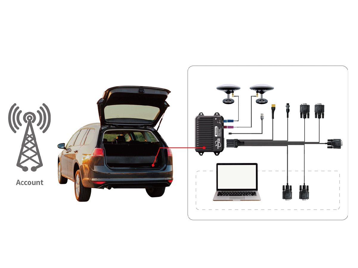
The INS200 is a small, lightweight, and low-power solution with multiple communication interfaces, making it easy to integrate into space and weight-constrained applications. It offers enhanced connection options including serial, CAN, and Ethernet. Additionally, the INS200 is IP67 rated, meaning it is dust and waterproof, allowing you to use it without worrying about damage caused by dust or water.
Extraordinary Performance
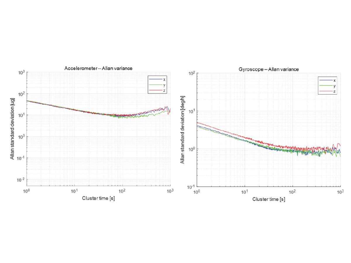
INS200 has a built-in automotive-grade lMU sensor array that supports external odometer information, providing accurate and continuous real-time attitude-speed position information, such as urban canvons and elevated tunnels.
A comprehensive combination of navigation algorithms that provide position accuracy of 2cm, velocity accuracy of 2cm/s, and attitude accuracy of 0.1°
Technical Specifications
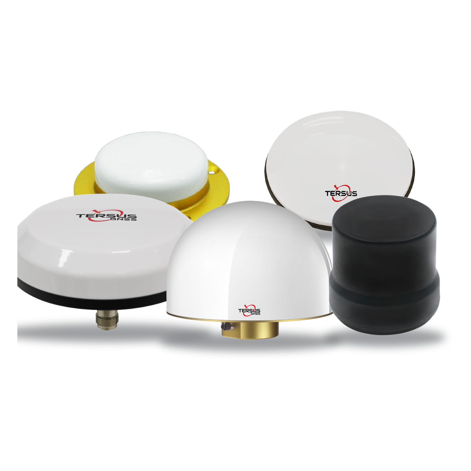
Signal TrackingGPS L1 C/A, L2C, L2P, L5; GLONASS L1 OF, L2 OF; BDS B1I, B2I, B3I; Galileo E1, E5a, E5b; QZSS L1, L2, L5
Channels1792
Single Point Positioning (H/V)1.5m / 2.5m
DGPS Positioning (H/V)0.4m / 0.8m
RTK Accuracy (H/V)8mm+1ppm / 15mm+1ppm
Initialization (typical)<5s
Initialization Reliability>99.9%
C/A Code Accuracy10cm
P Code Accuracy10cm
Carrier Phase Accuracy1mm
Cold Start TTFF<30s
Warm Start TTFF<10s
Re-acquisition<1s
Heading Accuracy0.1° / 2m baseline
PPS Accuracy (RMS)20ns
Velocity Accuracy (RMS)0.02m/s
Data Update Rate20Hz
Gyro Range±300°/s
Gyro Bias Instability1.8°/hr
Angular Random Walk (XY)0.09°/√hr
Angular Random Walk (Z)0.10°/√hr
Accelerometer Range±6g
Accelerometer Bias Instability0.015mg
Velocity Random Walk0.035 m/s/√hr
IMU Update Rate100Hz
Position Accuracy (0s GNSS loss, 2σ)2cm
Roll Accuracy (0s GNSS loss, 2σ)0.1°
Pitch Accuracy (0s GNSS loss, 2σ)0.1°
Heading Accuracy (0s GNSS loss, 2σ)0.1°
Speed Accuracy (0s GNSS loss, 2σ)0.02m/s
Position Accuracy (60s GNSS loss + odometer, 2σ)2.0‰
Roll Accuracy (60s GNSS loss, 2σ)0.15°
Pitch Accuracy (60s GNSS loss, 2σ)0.15°
Heading Accuracy (60s GNSS loss, 2σ)0.15°
Speed Accuracy (60s GNSS loss, 2σ)0.1m/s
INS Update Rate100Hz
RS232x3
CAN (A)x1
CAN FD (B)x1
LNA Ethernet Portx1
GNSS Antenna Connectorx2
Power Connectorx1
PPSx1
Dimensions116x85.9x28mm
Weight263g
Input Voltage (Range)9~24V DC
Input Voltage (Typical)12V DC
Power Consumption (Range)1.5~2.5W
Power Consumption (Typical)2.0W
Operating Temperature-40°C ~ +85°C
Storage Temperature-40°C ~ +95°C
Relative Humidity100% non-condensing
Dust & WaterproofIP67
Documents
Firmware, software installers and configuration tools for this product are in the MyTersus portal. Open product downloads
Related Products
Ready to deploy INS200?
Talk to our team about pricing, integration, and support options.