


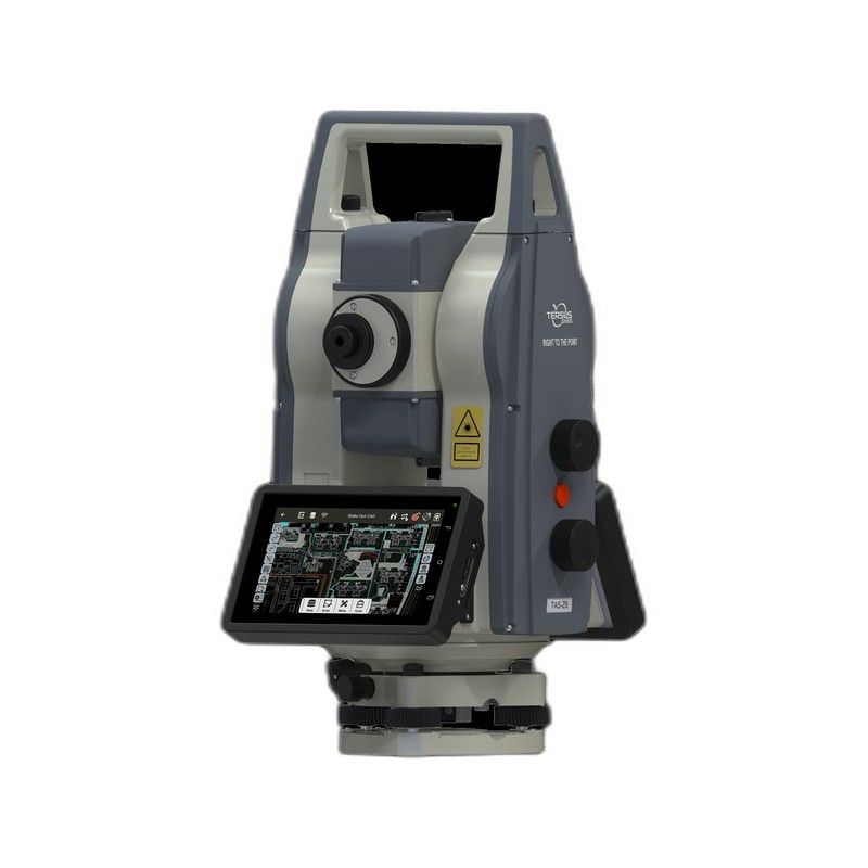
TAS Z6
Robotic total station designed for efficient surveying, intelligent stakeout, and automated field operations.
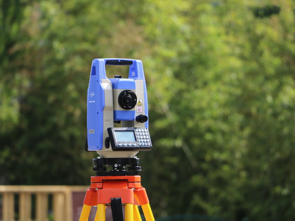
Total StationsCompact total station for rapid topographic and engineering surveys.
Compact total station for rapid topographic and engineering surveys.
150MHz modulation frequency, shorter precision measurement ruler, and higher accuracy at the same signal-to-noise ratio and phase discrimination resolution. The new optical path design fully isolates the transmitting and receiving optical signals, ensuring high accuracy
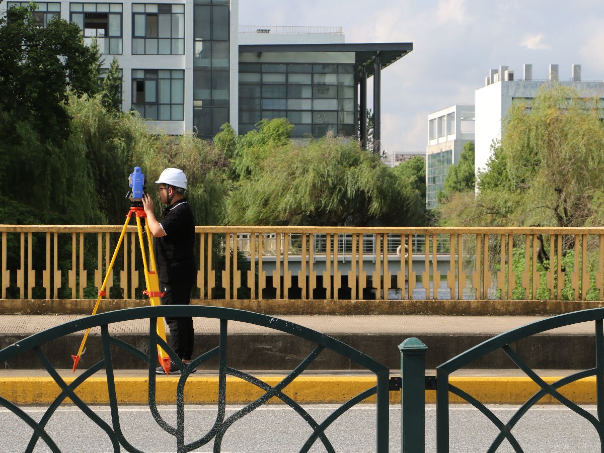
A brand new road measurement program that can calculate horizontal and vertical curves of any type of road, allowing for discontinuous changes in the radius of horizontal curves, including non-complete transition curves with any large deviation angle, straight line elements with straight turning points, and any broken chain piles
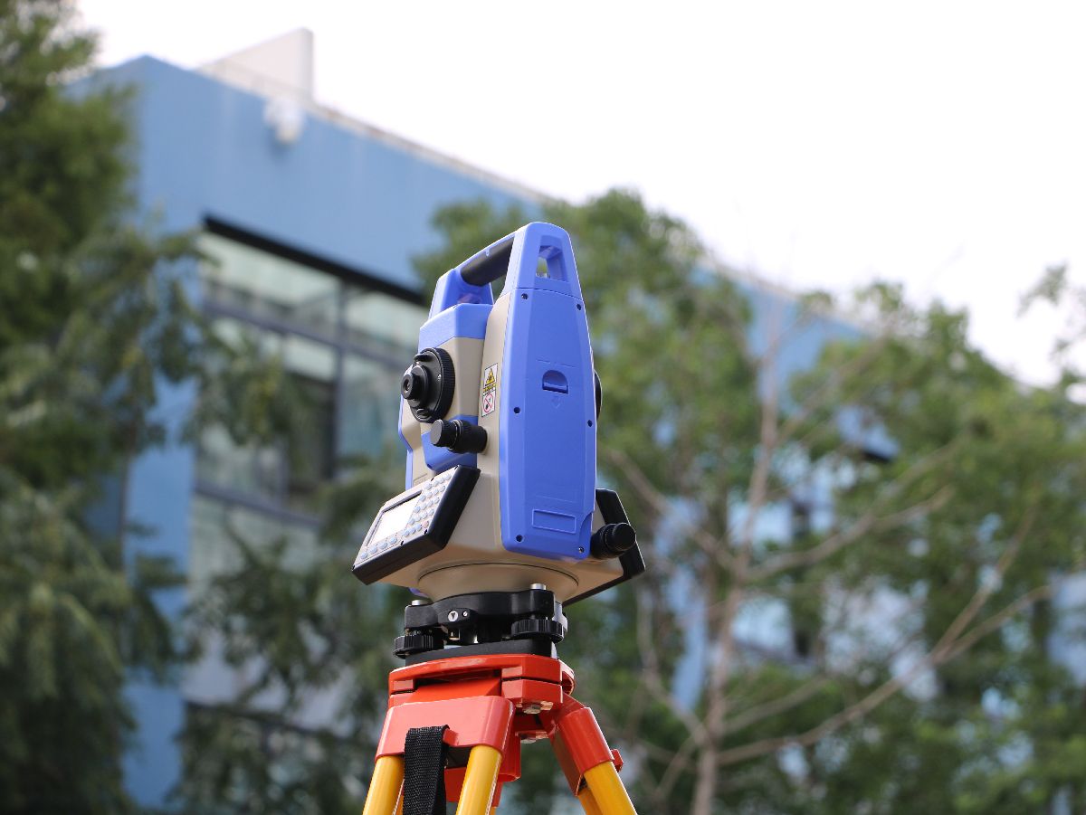
Support EXCEL table data and DAT data import and export. Add known point files, all projects can call known point coordinates

Firmware, software installers and configuration tools for this product are in the MyTersus portal. Open product downloads
Robotic total station designed for efficient surveying, intelligent stakeout, and automated field operations.
Total Stations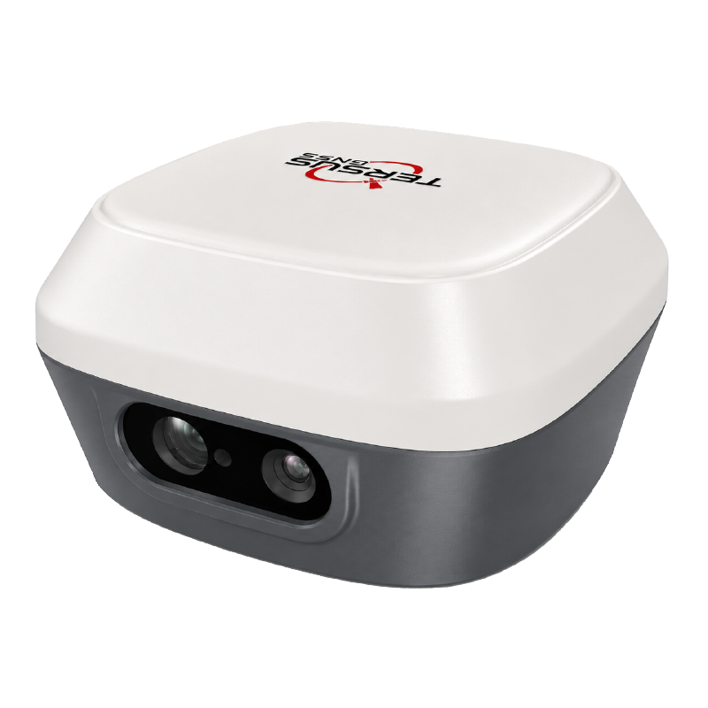
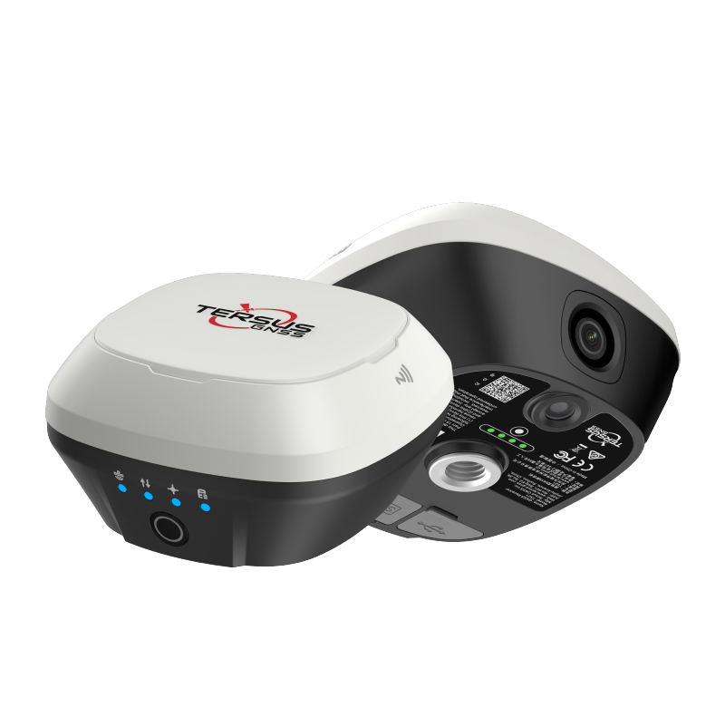
Dual-camera RTK receiver with tilt compensation, visual stakeout, and AR guidance.
GNSS Receivers
Talk to our team about pricing, integration, and support options.