


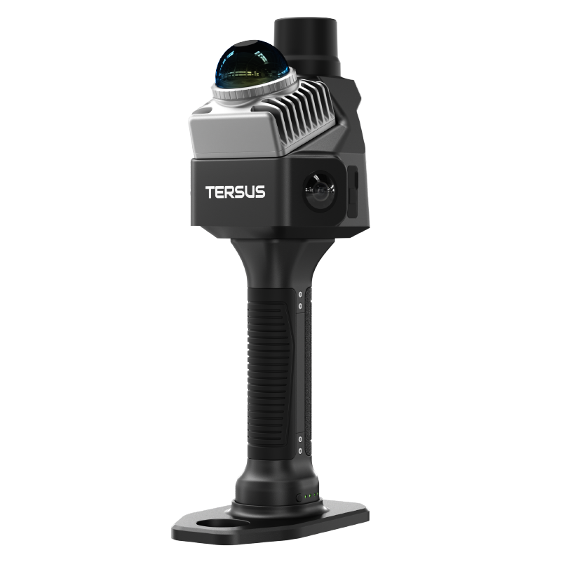
MVP 400
Vehicle-mounted system for road and rail corridor mapping at highway speeds.
Every Point Precise, Every Detail Real
- 3 cm / 5 cm Accuracy
- Survey-grade vertical & horizontal accuracy.
- 1.4 kg Lightweight
- Highly integrated, all-in-one design including camera.
- 7 Echo Returns
- Exceptional penetration through dense vegetation.
- 400 m Flight Height
- Efficiently cover large areas with up to 400 m AGL.
Survey-Grade Accuracy
Achieve outstanding system accuracy with 3 cm vertical & 5 cm horizontal accuracy (@150 m AGL), supported by 5 mm ranging accuracy.
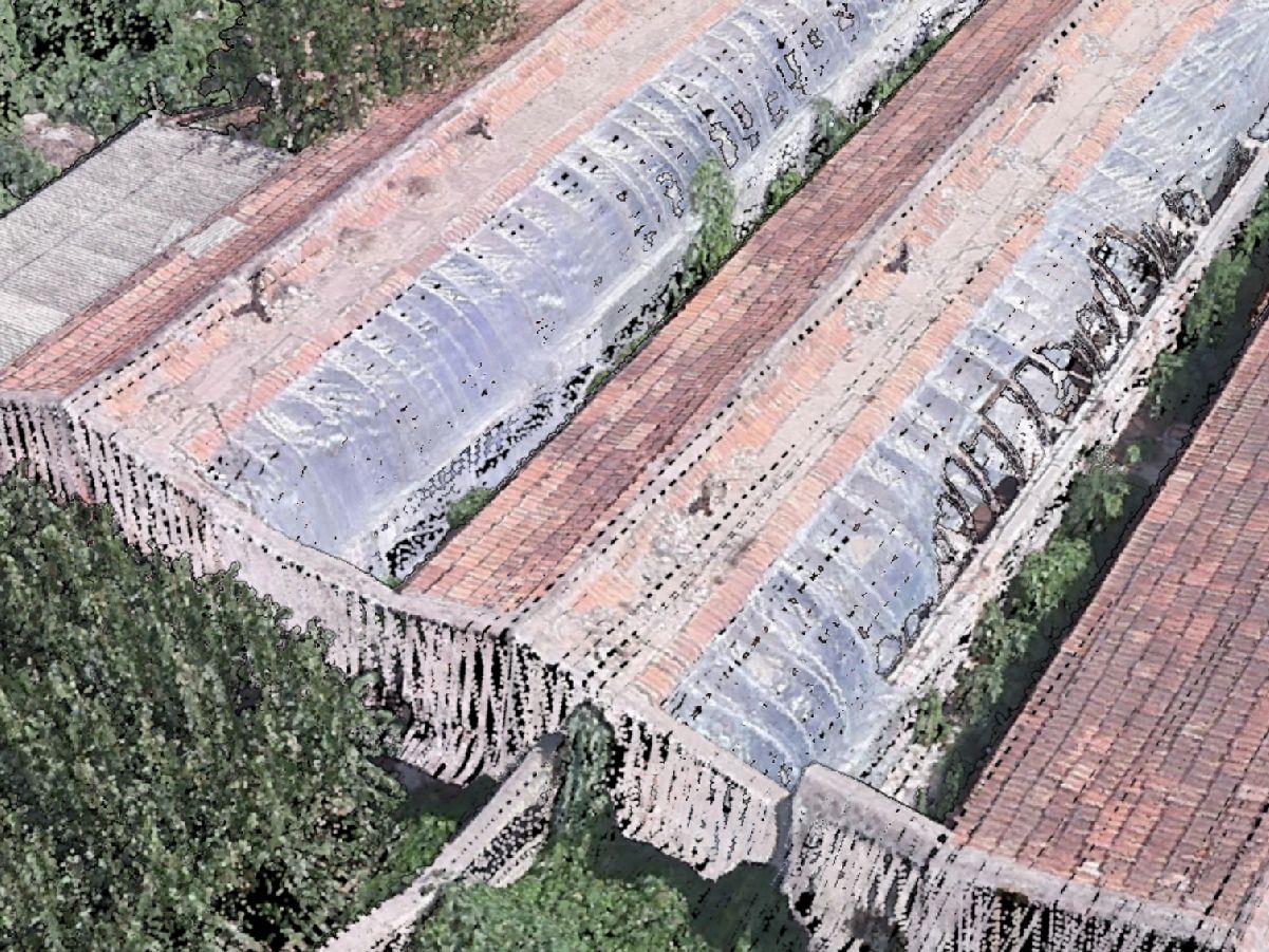
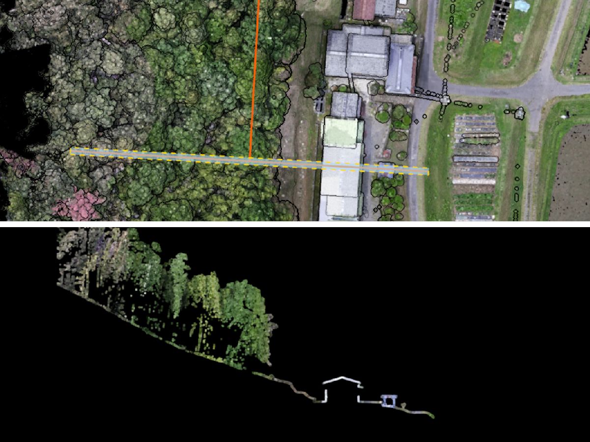
Exceptional Penetration
Up to 7 echo returns, easily penetrates dense vegetation to acquire ground points.
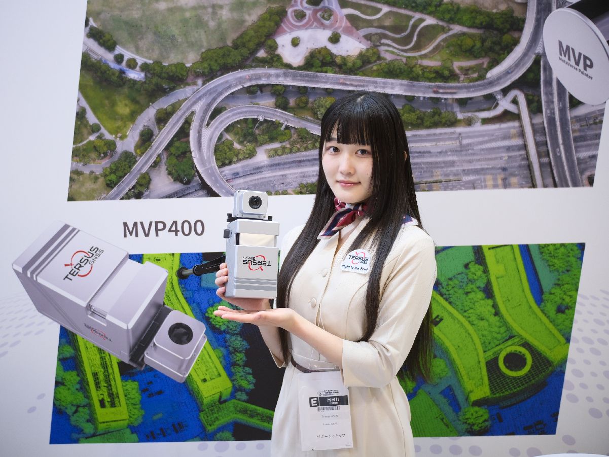
Lightweight & All-in-One
System weighs only 1.4 kg with camera; LiDAR, camera, storage & DJI SkyPort in one unit.
High-Efficiency, Long-Range
Flying height up to 400 m, 90° FOV, 300 lines/s scan speed.
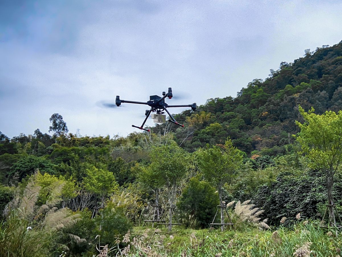
Flexible Camera Options
MVP400 with 26 MP APS-C;
MVP400 Pro with 45 MP Full-Frame + high-precision IMU.
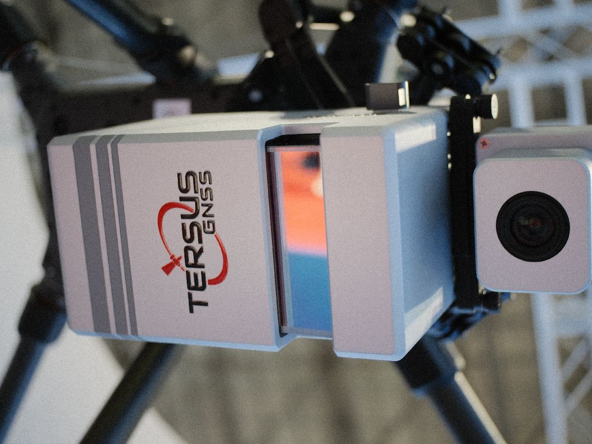
Ready to Deploy
Fully calibrated; mount via DJI SkyPort on DJI M300/M350, start mission instantly.
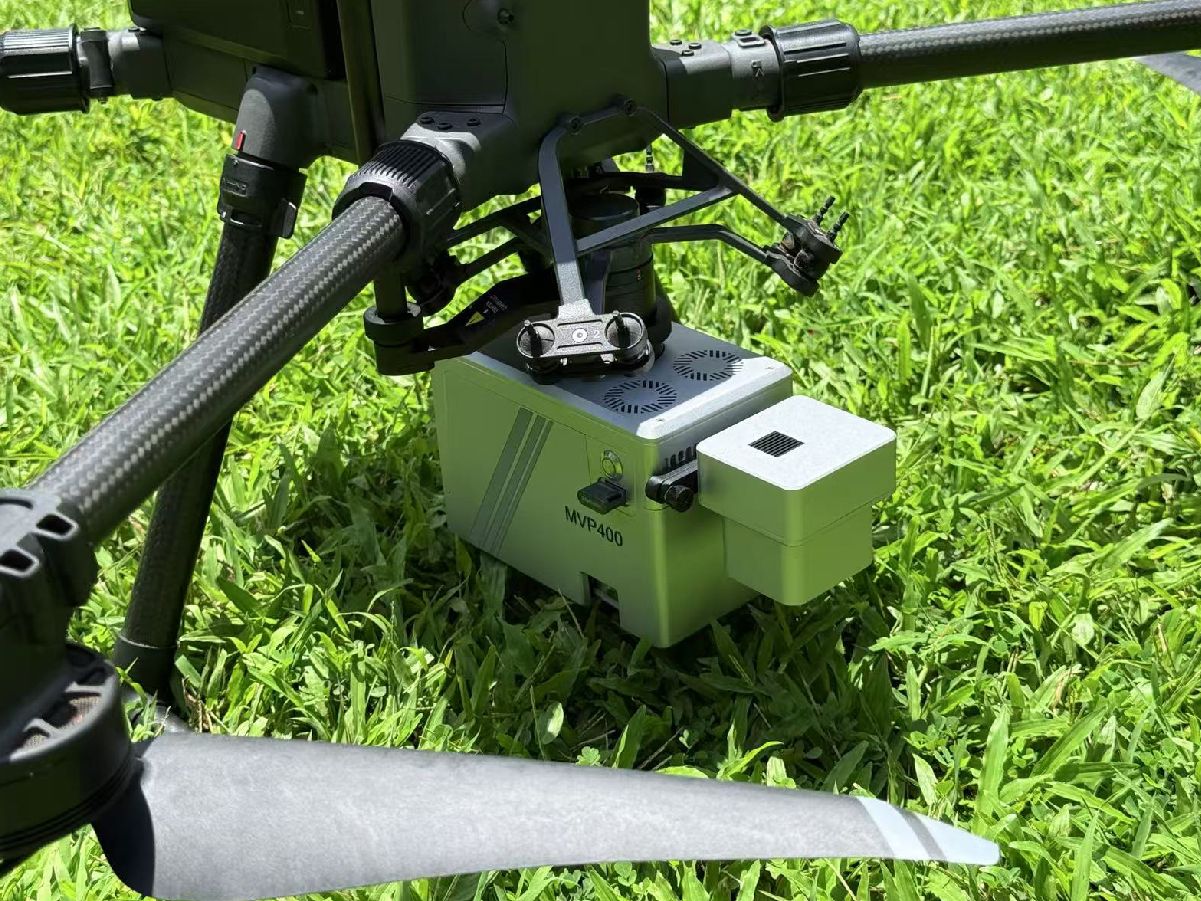
Applications

Terrain Surveying
Digital models are commonly used geospatial results generated by LiDAR Mapping System. These products are widely applied in terrain mapping, monitoring and reconstruction.
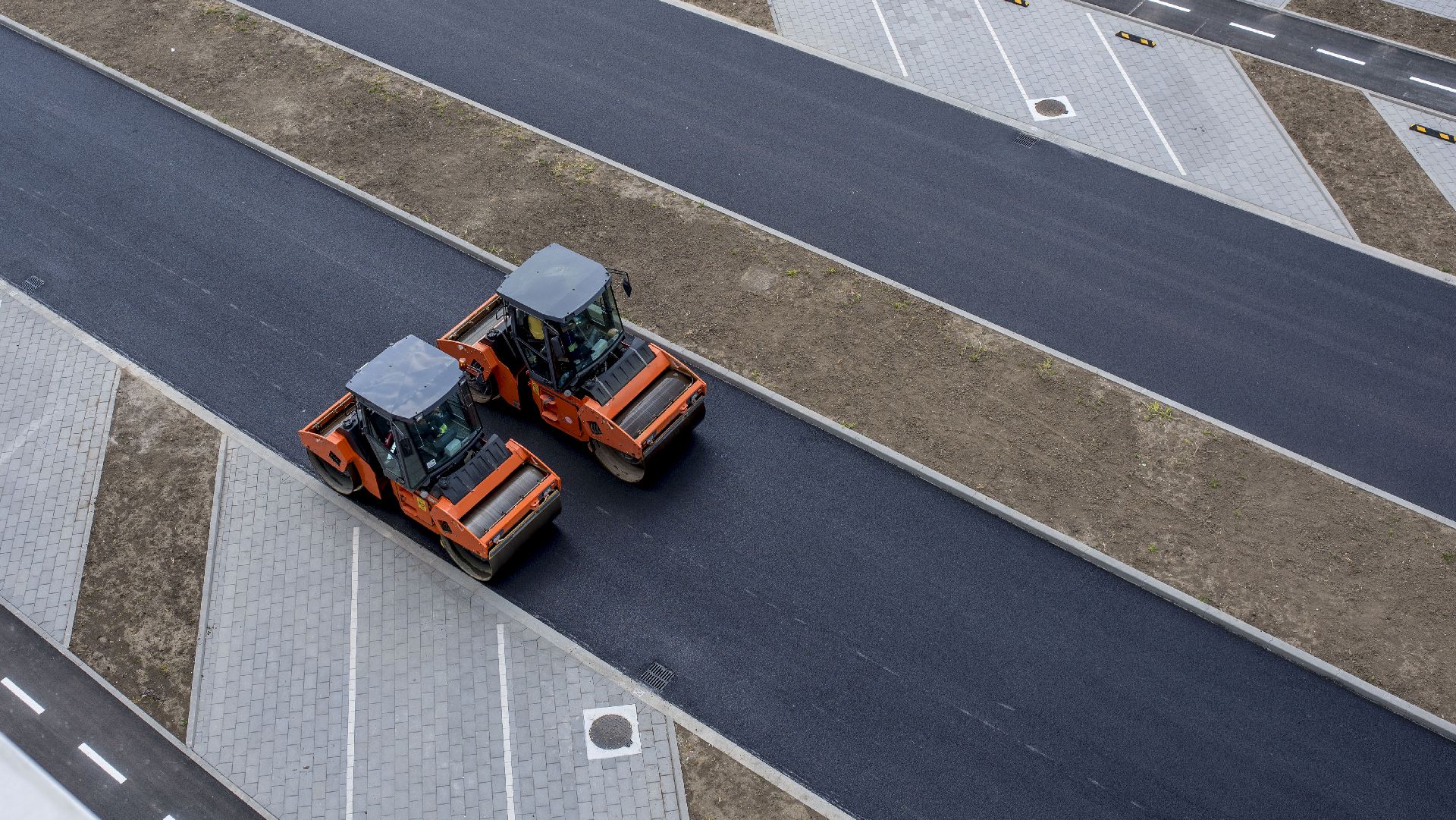
Road Construction
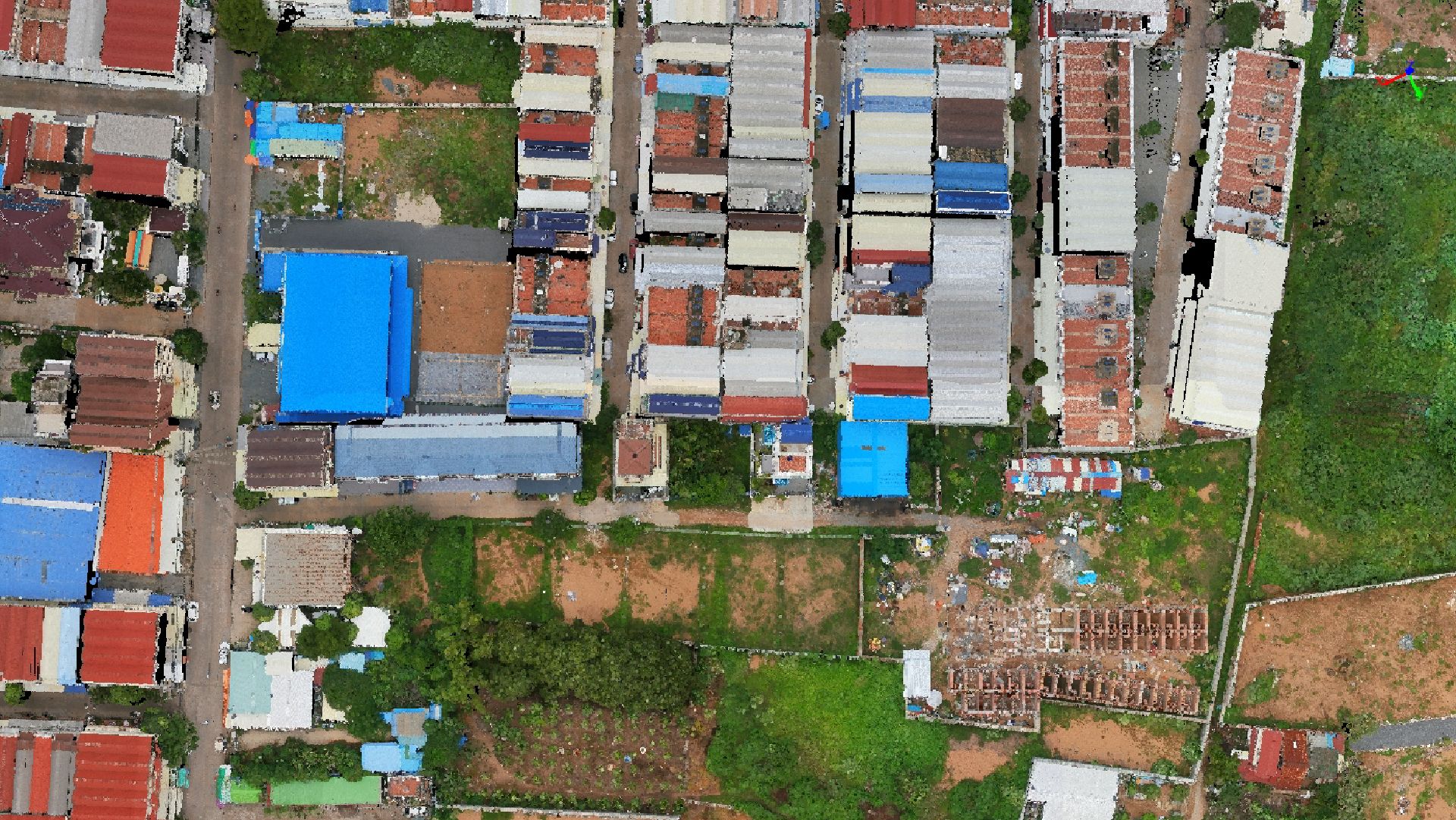
Extremely precise 3D LiDAR data for purposes like analysis of road infrastructure, locating light poles and traffic signs, new planning and asset management.
Building Management
In building construction and infrastructure, MVP offers a detailed and accurate point cloud data for smart city, street mapping and BIM.
Forestry Analysis
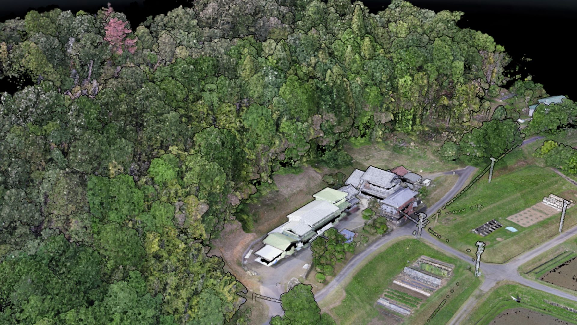
Provide detailed information on forest structures, including tree height, diameter, volume, leaf area index, etc. Also efficiently obtain under-tree ground surface information for digital models.
Power Line Inspection
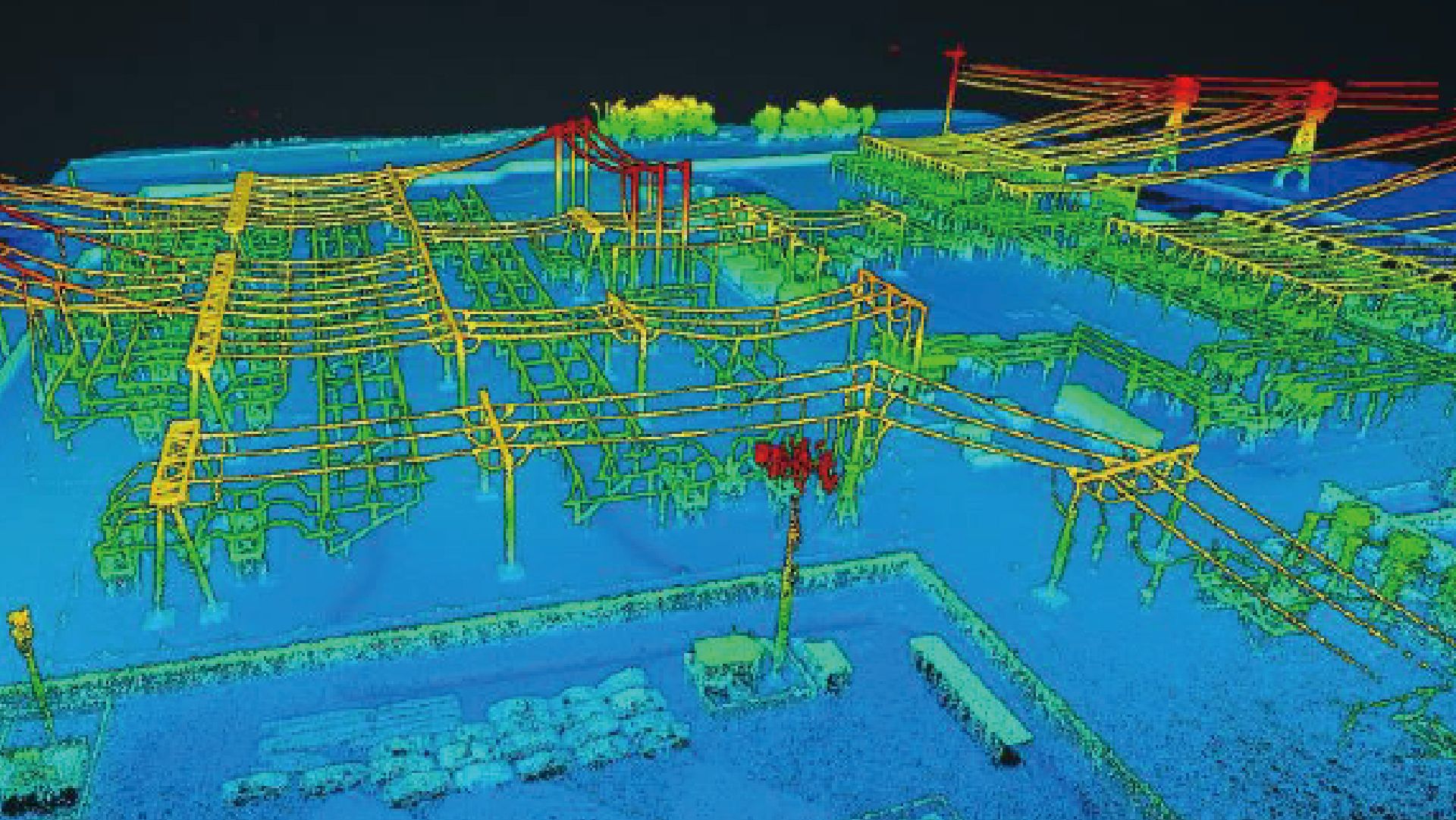
Efficiently acquire dense point clouds for detecting downed power lines, hazardous trees, and other potential hazards.
Technical Specifications
Overall Weight (Main Unit + Camera)≤1.4 kg (MVP400) / ≤1.42 kg (PRO)
Overall Weight (Main Unit)≤1.21 kg
Dimensions (excluding Camera)L156 × W90 × H115 mm
System Consumption45W
Power Supply9~36V DC
InterfaceDJI SkyPort / MVP Quick-release / Custom
System AccuracyVertical 3cm @ 150m / Horizontal 5cm @ 150m
Data StorageU-disk 256GB
Operating Temperature-20°C ~ 50°C
Storage Temperature-30°C ~ 60°C
Compatible PlatformDJI M300/M350 / Other UAV models
Scanning PrincipleMechanical Rotation
Laser ClassClass I
Laser Wavelength1550 nm
Operating Height350m @ 20% reflectivity / 450m @ 35% reflectivity
Ranging Capability500m @ 20% reflectivity / 1000m @ 80% reflectivity
Ranging Accuracy5mm
FOV90°
Angular Resolution0.0018°
Line Speed90~300 line/s
Point Frequency100 kHz ~ 1000 kHz
Multiple Echoes≥7
GNSS Signal TrackingBDS, GPS, GLONASS, Galileo, QZSS
Positioning Accuracy (post-processing)≥5 Hz
Position Data Rate≥500 Hz
Attitude Accuracy (post-processing)Plane 1cm / Elevation 2cm
Attitude Data Rate (post-processing)MVP400: Heading 0.04°, Pitch/Roll 0.008°
Attitude Data Rate (PRO, post-processing)MVP400 Pro: Heading 0.02°, Pitch/Roll 0.005°
Effective Pixels26 MP (MVP400) / 45 MP (PRO)
Sensor Dimension23.5 × 15.6 mm (MVP400) / 36 × 24 mm (PRO)
Image Resolution6240 × 4168 (MVP400) / 8192 × 5468 (PRO)
FOV of Image Width73° (MVP400) / 90° (PRO)
GSD @ 100m2.3 cm (MVP400) / 2.1 cm (PRO)
Documents
Firmware, software installers and configuration tools for this product are in the MyTersus portal. Open product downloads
Related Products
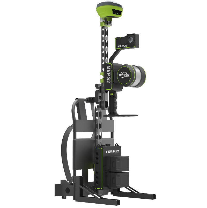
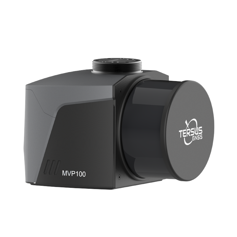
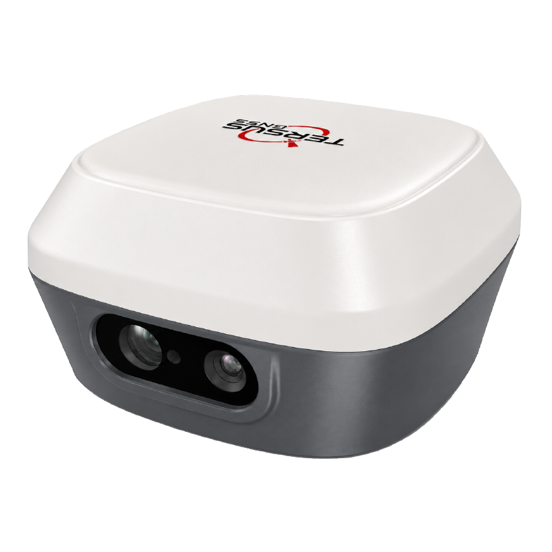
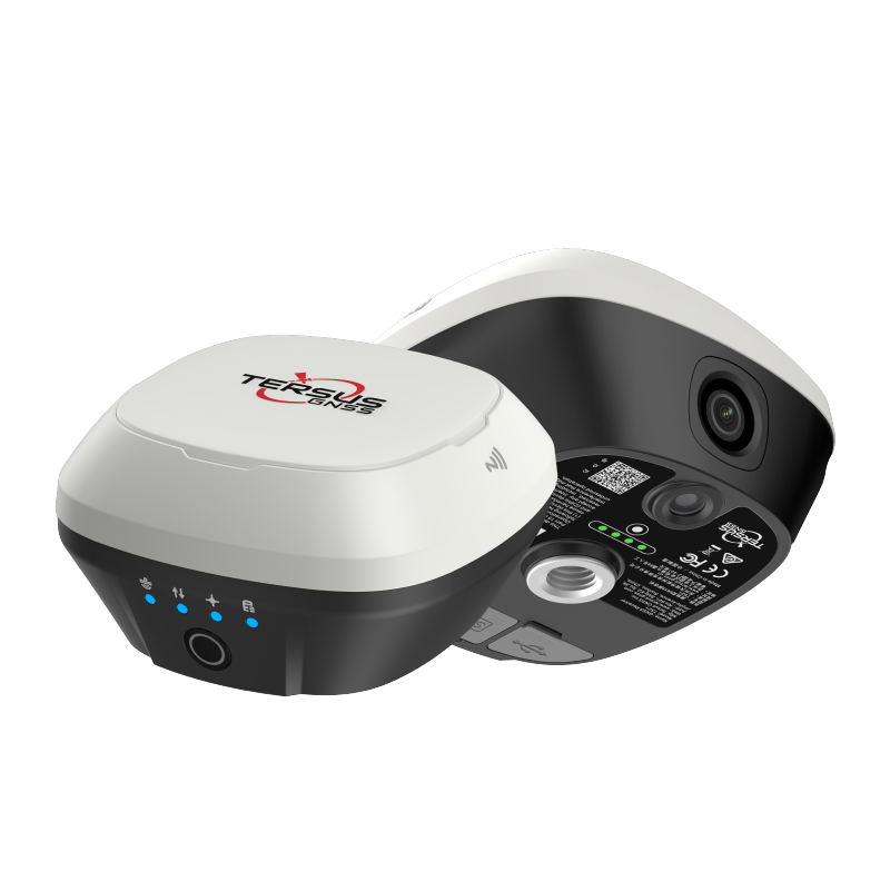
captuRTK™ TS21
Dual-camera RTK receiver with tilt compensation, visual stakeout, and AR guidance.
GNSS Receivers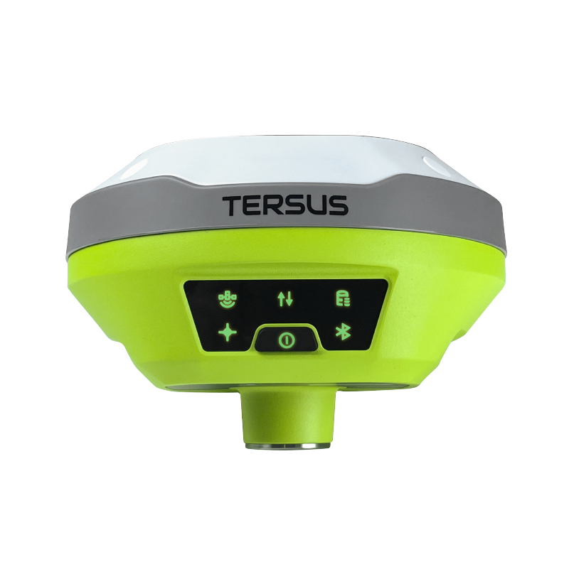
Ready to deploy MVP 400?
Talk to our team about pricing, integration, and support options.